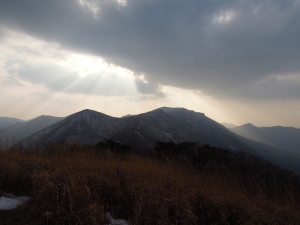
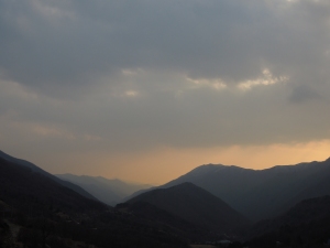
In what has come to be quite a mini series for December/January I now present you with my final hiking blog until I return from Malaysia. I have really enjoyed the previous three hikes and it certainly gives me a great amount of satisfaction to do something I enjoy outside of the football season (Which incidentally I have decided to abstain from next season). The hike on Christmas Day was fantastic, more mountain climbing than hiking, but definitely an adventure. With that in mind I spent some time researching other mountains in the Yeongnam Alps and I planned a route that would take me to another famous temple and over three big peaks.
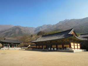
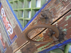
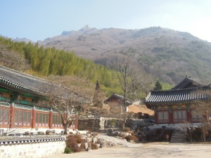
My hike began at Pyochungsa. I took a city bus to Miryang and then a local bus to Pyochungsa temple. Each bus ride took about fifty minutes, but I left early in the morning and arrived at the temple around 11am. The temple was about a kilometre away from a small tourist village full of motels that host people in the summer months. In the chilly times of January the area was virtually deserted and bar a brief encounter with an inquisitive man and his son I was free to roam around the well-groomed temple grounds. Behind the temple was a steep forested face giving a hint of the terrain that was ahead of me.
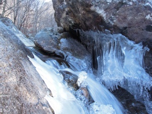
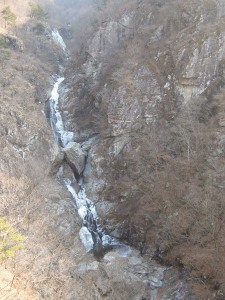
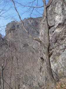
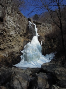
From the temple I took the fifth path of a possible six that were noted on a trail map. My trail was the second longest but took in the two mountainside waterfalls that were annotated. The trail began wide and gravelly as it followed the river stemming from the springs and melt-water above, but soon turned steeper as I recrossed the river. The river flowed sneakily between the ever-increasingly large boulders and the higher I walked the more prominent the ice features amongst the rocks were. By the time I reached the first waterfall long icicles clinged to boulders and cliff faces. The second waterfall, or rather set of waterfalls came as the trail significantly steepened. As I encountered each section of waterfall I diverted from the trail to have a good look at the icy plunge-pools and enjoyed hopping over the car sized boulders.
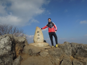
The hike leveled out briefly as it joined a rugged road above the cliff tops, presumably leading to a hermitage in the mountains. After crossing another river and hitting the beginning of a patchy snow-line and rather freaky forest full of unnervingly identical trees the slope returned and gradually increased until I hit the rocky summit of Jaeyaksan. I met a nice Korean man who summited at the same time from another direction and we exchanged pleasantries and route choices in between taking a photo for each other.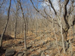
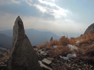
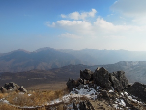
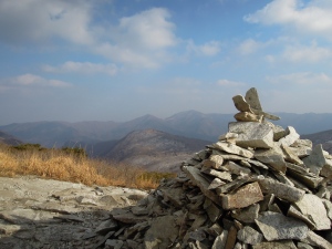
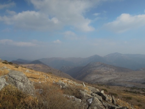
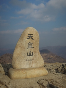
The hike to the second peak of Cheonhwangsan was interspersed with more encounters with fellow hikers. A group of four men, who I could smell the alcoholic tones of their soju breath before I saw them, invited me to join them for lunch. I politely declined, mostly concerned about the time I had to complete the hike and slightly because they would get me drunk. A second group of men had poured me a paper cup of makgeoli before I had even reached them, I knocked it back politely before getting on my way. The views from Cheonhwangsan, and similarly before at Jaeyaksan, were amazing and really showed a wonderful expanse of natural scenery across the region.
From Cheonhwangsan I began the journey to the third and final peak, Neungnongsan. This was a long, undulating, snowy and narrow trail amongst small trees. I slipped around but the general lack of any really significant climbs ensured it was quite uneventful and I covered the distance quickly. The only real surprise was the appearance of an increasing number of people caused by the appearance of the top of a cable car. I had to jump a few fences as the trail I had been following disappeared around the cable car grounds but no one shouted at me and I didn’t walk into any minefields!
Neungnongsan was a bit disappointing and didn’t really emerge dramatically above the trees as the two other peaks had. Even so I got some good photos looking back from where I had come from. I also had a good chat with four heavily backpack laden young hikers who I actually managed to help with directions rather than me asking them for help! The descent down the peak was steep but safe and occasionally adorned with wooden staircases. I emerged into a small village. Music was blaring outrageously from a cafe’s outdoor speakers and with few people in sight I turned off my hiking GPS app and headed to a nearby road. With few cars passing through I began walking towards a town that I recognised as having a bus station. As I rounded the tightly curved road and the town of Eonyang appeared on the horizon in the valley below I began to hope for a kindly person to give me a lift, not fancying the 10km road walk that would be following my 17km hike. My wishes were answered when a mini bus beeped its horn and a group of four hikers from Ulsan excitedly welcomed me in. I had a good English/Korean chat with them and twenty or so minutes later they dropped me in Eonyang and I caught the number 12 bus back to Busan!

